Aerial terrain where turquoise water meets red earth

SPATIAL / GIS SERVICES / AUSTRALIA

Spatial

SECHA provides Australia-wide GIS services, geospatial analysis, environmental GIS, field mapping and spatial data management. We turn environmental, operational and project data into useful spatial intelligence for teams across Australia.

SECHA provides Australia-wide GIS services, geospatial analysis, environmental GIS, field mapping and spatial data management. We turn environmental, operational and project data into useful spatial intelligence for teams across Australia.

Practical capability, clearly applied.

Practical capability, clearly applied.

Practical capability, clearly applied.

KEY CAPABILITIES

GIS & mapping · Spatial analysis · Environmental GIS · Spatial data systems · Field mapping

01 / GIS & MAPPING
Make the map a working project instrument.

Make the map a working project instrument.

Make the map a working project instrument.

We turn technical information into clear spatial products that let teams see the project, understand constraints and communicate the next decision with confidence.

We turn technical information into clear spatial products that let teams see the project, understand constraints and communicate the next decision with confidence.

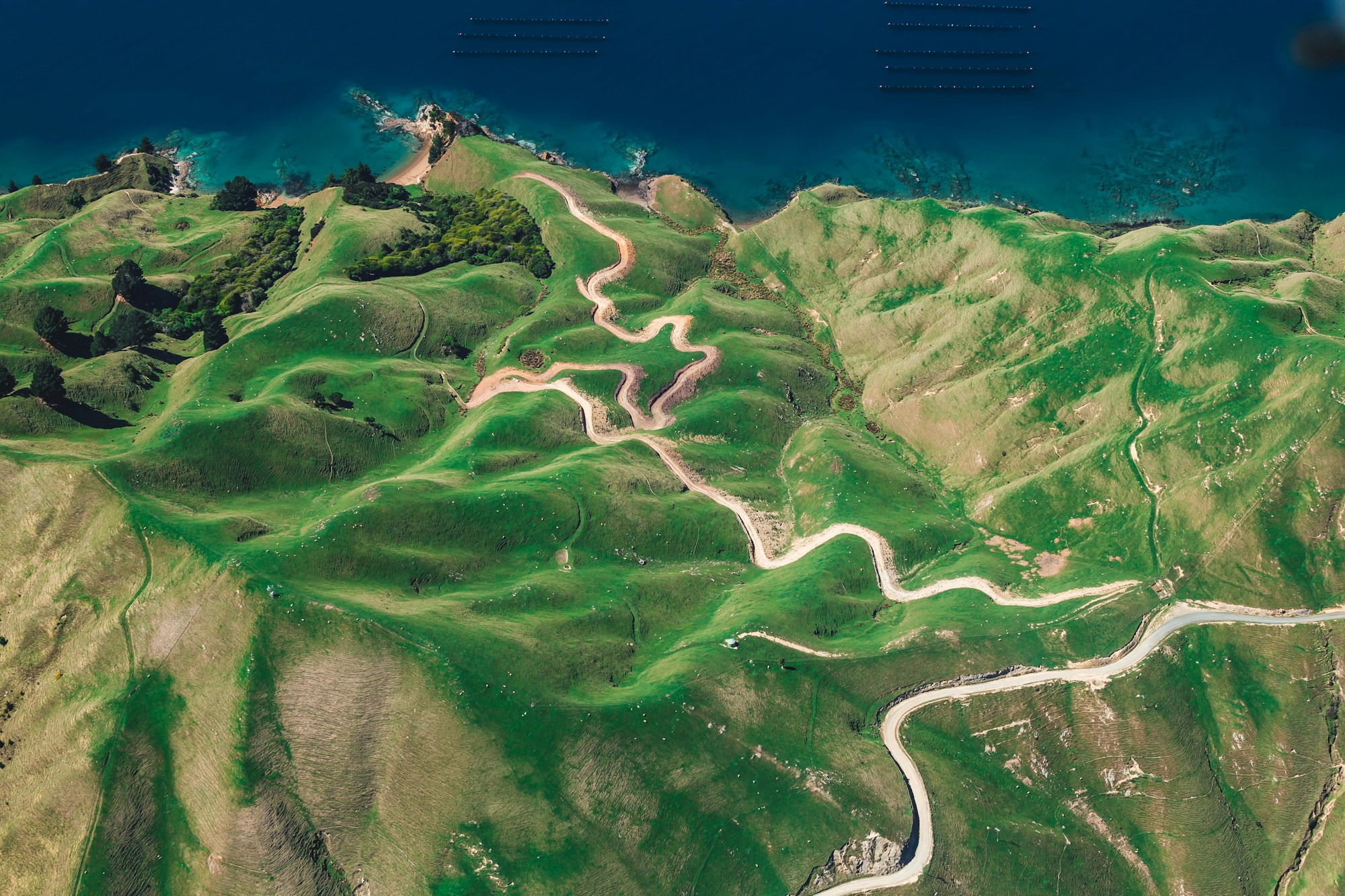
Aerial terrain showing mapped landform patterns

MAP FRAME / LANDSCAPE CONTEXT / AUSTRALIA

GRID 50K / 25° S, 121° E

LAYER SET / SATELLITE + AERIAL

AREA OF INTEREST / CONSTRAINT OVERLAY

Project geography, made clear

Environmental mapping · Project mapping · Tenement and land access mapping · Infrastructure mapping · Constraints mapping

Production-ready mapping

Disturbance mapping · Rehabilitation mapping · Technical report figures · Cartographic production · Interactive mapping

02 / SPATIAL ANALYSIS

See the relationship behind every layer.

See the relationship behind every layer.

See the relationship behind every layer.

We use analysis to move from mapped information to measurable understanding—revealing impacts, thresholds, options and the risks that matter.

We use analysis to move from mapped information to measurable understanding—revealing impacts, thresholds, options and the risks that matter.

Locate & constrain

Environmental constraints analysis · Overlay analysis · Buffer and distance analysis · Spatial risk analysis

Measure the impact

Spatial impact assessment · Clearing calculations · Land disturbance analysis

Detect & decide

Habitat analysis · Change detection · Site selection

Aerial landscape with water and vegetation patterns

ENVIRONMENTAL GIS / HYDROLOGY + ECOLOGY / AUSTRALIA

ENVIRONMENTAL LAYERS

HYDROLOGY

VEGETATION

APPROVAL BOUNDARY

03 / ENVIRONMENTAL GIS

Environmental context, held in one spatial picture.

Environmental context, held in one spatial picture.

Environmental context, held in one spatial picture.

We organise ecological, hydrological and approval information into spatial systems that make environmental conditions clear across the life of a project.

Ecology in context

Flora and vegetation mapping · Fauna habitat mapping · Significant species mapping

Water, approvals & progress

Surface water and drainage mapping · Environmental exclusion zones · Approval boundaries · Clearing boundaries · Monitoring networks · Rehabilitation tracking

04 / SPATIAL DATA MANAGEMENT

Data systems built for confident reuse.

Data systems built for confident reuse.

Data systems built for confident reuse.

Good spatial intelligence depends on the quality, governance and accessibility of the data behind it. We help teams make that foundation dependable.

Good spatial intelligence depends on the quality, governance and accessibility of the data behind it. We help teams make that foundation dependable.

Build the system

GIS database development · Spatial data management · Spatial data standards · Project GIS systems

Validate the evidence

Data validation and QA/QC · Coordinate systems · Metadata

Connect & carry forward

Historical data consolidation · Web mapping

05 / FIELD MAPPING

Capture the ground truth behind the map.

Capture the ground truth behind the map.

Capture the ground truth behind the map.

Our field-mapping workflows connect observations, locations and verification directly to the spatial information that supports decisions back at the project desk.

Capture

GPS data capture · Mobile GIS

Verify

Field inspection mapping · Ground disturbance verification

Observe

Monitoring locations · Geotagged field observations

Aerial field access track through an arid landscape

FIELD LAYER / 05

GPS + MOBILE GIS / 25° S, 121° E

FIELD CAPTURE / VERIFIED OBSERVATION / AUSTRALIA

FIELD DATA / GPS + MOBILE GIS

07 / START A CONVERSATION

Put your project on the map.

Put your project on the map.

Put your project on the map.

Bring the data, the landscape and the decision in front of us. We’ll help build the spatial clarity that moves the project forward.

SERVICES

Environment & Water / Spatial / Aerial / Studio / Analytics

CONTACT

Perth & Melbourne, Australia

Supporting projects across Australia

© 2026 SECHA. All rights reserved.

SECHA / ENVIRONMENTAL INTELLIGENCE

AUSTRALIA-WIDE